MAKE A MEME
View Large Image

| View Original: | Forum_Boarium_1886.jpg (361x274) | |||
| Download: | Original | Medium | Small | Thumb |
| Courtesy of: | commons.wikimedia.org | More Like This | ||
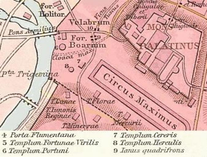
| Keywords: Forum Boarium 1886.jpg kartographische Darstellung des römischen Forum Boarium G Droysens Allgemeiner Historischer Handatlas / Bearbeitung des Bildes aus Commons File Roma Plan jpg 1886 / 2008 07 15 Nachbearbeitung author PD-old Original upload log de wikipedia Ireas CommonsHelper page de wikipedia Forum_Boarium jpg 2008-07-15 14 40 Matthias Holländer 361×274× 37640 bytes <nowiki> Andere Versionen </nowiki> Maps of the Forums of Rome Boario Maps of the Palatine Hill 5 2 Foro Boario Rome 5 Plans of Circus Maximus Rome 6 | ||||