MAKE A MEME
View Large Image
| View Original: | G3972_M6_1864_U5.jpg (5557x5485) | |||
| Download: | Original | Medium | Small | Thumb |
| Courtesy of: | www.flickr.com | More Like This | ||
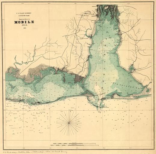
| Keywords: drawing sketch map photo border G3972_M6_1864_U5: United States Coast Survey Map showing the approaches to Mobile, Alabama, 1864. Map shows forts, towns, soundings, and a few roads, 1864. Courtesy of the Library of Congress. G3972_M6_1864_U5: United States Coast Survey Map showing the approaches to Mobile, Alabama, 1864. Map shows forts, towns, soundings, and a few roads, 1864. Courtesy of the Library of Congress. | ||||