MAKE A MEME
View Large Image
| View Original: | Gottleuba_(1)_Oberreit_1821.jpg (699x400) | |||
| Download: | Original | Medium | Small | Thumb |
| Courtesy of: | commons.wikimedia.org | More Like This | ||
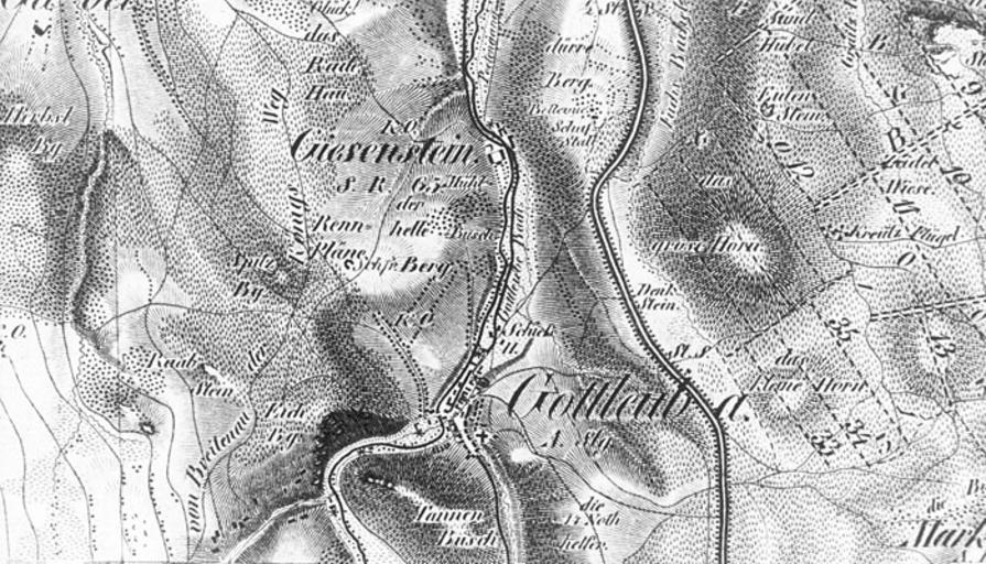
| Keywords: Gottleuba (1) Oberreit 1821.jpg Gottleuba and Giesenstein in an topographic atlas from 1821 Jakob Andreas Hermann Oberreit 1821 Topographischer Atlas des Königreichs Sachsen 1 57 600 Dresden created 1821 Creator Jakob Andreas Hermann Oberreit This image is in the public domain worldwide due to the date of death of its author PD-old-100 Bad Gottleuba Maps showing 19th-century history Topographischer Atlas des Königreichs Sachsen | ||||
_Oberreit_1821.jpg)