MAKE A MEME
View Large Image
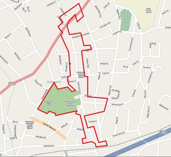
| View Original: | Greenwich Avenue Historic District map.png (820x752) | |||
| Download: | Original | Medium | Small | Thumb |
| Courtesy of: | commons.wikimedia.org | More Like This | ||
| Keywords: Greenwich Avenue Historic District map.png Greenwich Avenue Historic District ” along Greenwich Avenue in Greenwich Connecticut Greenwich Fairfield County southwestern Connecticut 89001215 ;Credits Base map from OpenStreetMap Boundary approximated from National Register of Historic Places nomination form 2010-8-19 Own <br />Transferred from http //en wikipedia org en wikipedia Polaron at http //en wikipedia org en wikipedia en wikipedia Polaron Original upload log page en wikipedia Greenwich_Avenue_Historic_District_map png 2010-08-19 17 57 Polaron 820Ă—752 148898 bytes <nowiki>Map of Greenwich Avenue Historic District Base map from OpenStreetMap Boundary approximated from National Register of Historic Places nomination form </nowiki> en wikipedia 2011 December 30 National Register of Historic Places in Greenwich Connecticut 02 Historic districts on the National Register of Historic Places in Connecticut Maps of historic districts on the National Register of Historic Places Visitor attractions in Fairfield County Connecticut en Greenwich Avenue Historic District | ||||