MAKE A MEME
View Large Image

| View Original: | Hadera-The_colony_status_and_development_by_Zvi_Botkovsky_H_OP_003f.png (1086x903) | |||
| Download: | Original | Medium | Small | Thumb |
| Courtesy of: | commons.wikimedia.org | More Like This | ||
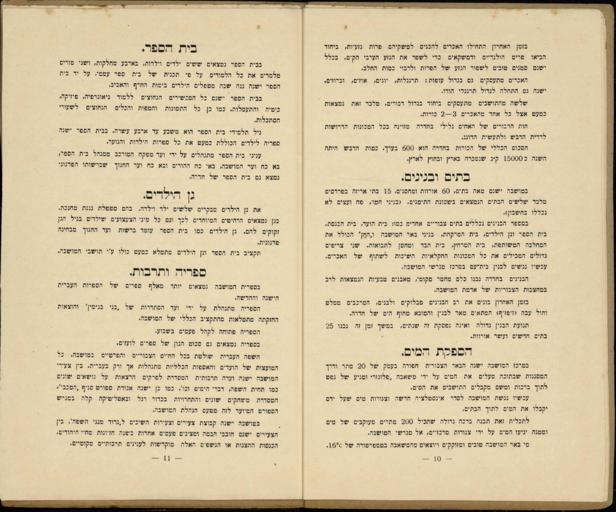
| Keywords: Hadera-The colony status and development by Zvi Botkovsky H OP 003f.png ОъОцОћ ОЕО ОћОъОЋОЕОЉОћ ОЌОЊОеОћ ОъОЕОаОф - 1926 ОЌОЋОЉОеОф ОЋОЉОћ ОфОЎОљОЋОе ОћОъОЋОАОЊОЋОф ОЋОфОћО ОЎОџ ОћОћОфОЎОЎОЕОЉОЋОф http //primo nli org il/primo_library/libweb/action/dlDisplay do vid NLI docId NNL_ALEPH001838258 ОЌОЊОеОћ ОъОдОЉ ОћОъОЋОЕОЉОћ ОЉОћОЋОћ ОЋОЊОеОЏОЎ ОћОфОцОфОЌОЋОфОћ ОЉОдОеОЋОБ ОъОцОћ ОЏО О ОЎОф ОЋОъОцОеОўОф /ОъОљОф ОдОЉОЎ ОЉОЋОўОДОЋОЉОАОДОЎ 1926 ОќОЋОћОЎ ОъОцОћ ОЕО ОљОЊОъОЋОф ОћОъОЋОЕОЉОћ ОЌОЊОеОћ ОЋОАОЉОЎОЉОЋОфОЎОћ ОћОъОцОћ ОъОдОЋОеОцОф О ОЌОЋОЉОеОф ОЕОаОЏОфОЉОћ ОЋОаОбОеОЏОћ ОбО ОЎОЊОЎ ОдОЉОЎ ОЉОЋОўОДОЋОЉОАОДОЎ ОћОъОЋОњОЊОе ОЏ ОЌОЋОДОе ОфОЋО ОЊОЋОф ОЌОЊОеОћ ОЉОЕОаОф 1926 ОЉОЌОЋОЉОеОф ОъОфОЋОљОеОЎО ОъОЋОАОЊОЋОф ОћОъОЋОЕОЉОћ ОЉОЎОф ОћОАОцОе ОћОњОаОЎО ОфОЌОаОф ОћОеОЏОЉОф ОћОЕОЎОўОЋОе ОћОЕОўОЌОЎО ОћОЌОДО ОљОЎОЎО ОЋОћОДОЕОе ОбО ОћОЉОаОДОЎО ОљОњОЋОЊОЋОф ОЌОДО ОљОЎОЋОф ОЕОЎОфОЋОцОЎОЋОф ОбОЋОЊ ОЏОъОЋ ОЏОЪ ОћОЌОЋОЉОеОф ОъОАОфОЎОЎОъОф ОЉОъОбОЎОЪ ОъОЕОљО Оф О ОЉ ОЋОдОцОЎ ОЕО ОћОъОЌОЉОе О ОњОЉОЎ ОбОфОЎОЊОћ ОЕО ОЌОЊОеОћ ОћОъОцОћ ОъОфОљОеОф ОљОф ОЌОЊОеОћ ОћОъОЋОЕОЉОћ ОљОф ОћОЕОўОЌОЎО ОћОАОъОЋОЏОЎО О Оћ ОћОъОцОћ ОћОЋОЏОаОћ ОбО ОЎОЊОЎ ОЋОбОЊ ОћОъОЋОЕОЉОћ ОЌОЊОеОћ ОњО ОЏОЪ ОЉОЕОаОф 1926 Hadera The colony status and development publication and a general map and lists / by Zvi Botkovsky 1926 This is a map of the Hadera colony in Israel and its surroundings A map is attached to the booklet written and edited by Botkovsky in which he describes the settlement institutions school parks train station police agricultural areas and the relationship with the banks cooperative agricultural associations and more The booklet also ends in a kind of wishful thinking and the author's expectation for the future of Hadera own Zvi Botkovsky from the collections of the National Library of Israel PD-old GLAM National Library of Israel Hadera The colony status and development 1926 | ||||