MAKE A MEME
View Large Image

| View Original: | Imperial_Federation,_Map_of_the_World_Showing_the_Extent_of_the_British_Empire_in_1886_(levelled).jpg (9876x7346) | |||
| Download: | Original | Medium | Small | Thumb |
| Courtesy of: | commons.wikimedia.org | More Like This | ||
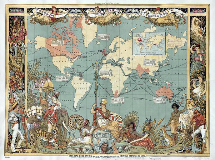
| Keywords: Imperial Federation, Map of the World Showing the Extent of the British Empire in 1886 (levelled).jpg LargeImage A map of the world in 1886 areas under British control are highlighted in red http //maps bpl org/id/M8682/ 1886-07-24 Creator Walter Crane <gallery> File Imperial Federation Map of the World Showing the Extent of the British Empire in 1886 jpg 16MB untouched version File British empire 1886 jpg 625KB untouched version </gallery> PD-old-auto-1923 1915 levels adjusted Jappalang British Empire Walter Crane | ||||