MAKE A MEME
View Large Image
| View Original: | Italia1815.jpg (1574x1886) | |||
| Download: | Original | Medium | Small | Thumb |
| Courtesy of: | commons.wikimedia.org | More Like This | ||
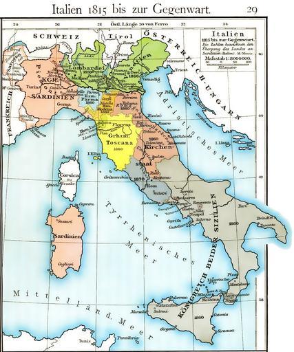
| Keywords: Italia1815.jpg Cartina dell'unificazione d'Italia dal 1815 fino al 1870 Historischer Schulatlas di F W Putzger 1814--1913 Plate 29 from F W Putzgers Historischer Schul-Atlas 1905 F W Putzger 1814--1913 File Italy unification 1815 1870 jpg derivative works Italy1816cs png Putzger Historischer Schul-Atlas di F W Putzger 1814--1913 PD-old Putzgers Historischer Schul-Atlas Italian Risorgimento Old Maps of the Italian Peninsula in History 1815 in Italy 1870 Kingdom of Sardinia 1815 Historical maps of Sardinia 1815 Maps of the Kingdom of the Two Sicilies 1815 Kingdom of Lombardy-Venetia 1815 Duchy of Parma and Piacenza 1815 Duchy of Modena and Reggio 1815 Grand Duchy of Tuscany 1815 Maps of the Papal States 1815 | ||||