MAKE A MEME
View Large Image

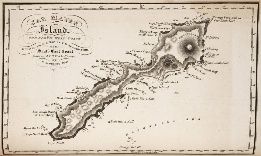
| View Original: | Jan Mayen map 1820 by William Scoresby.jpg (5189x3093) | |||
| Download: | Original | Medium | Small | Thumb |
| Courtesy of: | commons.wikimedia.org | More Like This | ||
| Keywords: Jan Mayen map 1820 by William Scoresby.jpg InteractiveViewer en map of Jan Mayen Island Norwegian Territory in the North Atlantic Ocean http //lhldigital lindahall org/cdm/ref/collection/ice/id/1272 extra-large download resolution 1 994 × 1 365 <br /> http //lhldigital lindahall org/utils/ajaxhelper/ CISOROOT ice CISOPTR 1272 action 2 DMSCALE 1200 DMWIDTH 16384 DMHEIGHT 16384 DMX 0024 DMY 0024 DMTEXT DMROTATE 0 native resolution 6 112 × 4 176 William Scoresby 1820 1820 maps Old maps of Jan Mayen William Scoresby PD-old-100 | ||||