MAKE A MEME
View Large Image
| View Original: | JerseyCI topograph1.PNG (668x509) | |||
| Download: | Original | Medium | Small | Thumb |
| Courtesy of: | commons.wikimedia.org | More Like This | ||
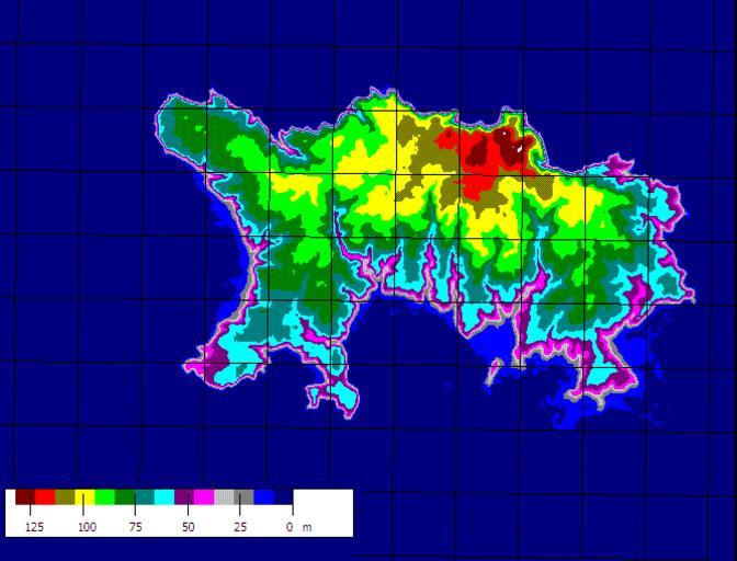
| Keywords: JerseyCI topograph1.PNG Topographic relief map of the Channel Island of Jersey Produced from SRTM data using Microdem Jaraalbe 08 07 21 April 2006 UTC 2006-04-21 own assumed Jaraalbe~commonswiki Maps of Jersey Topographic maps of the Channel Islands | ||||