MAKE A MEME
View Large Image
| View Original: | Joan_Blaeu_-_L'Istrie_(17._stoletje).jpg (2456x1860) | |||
| Download: | Original | Medium | Small | Thumb |
| Courtesy of: | commons.wikimedia.org | More Like This | ||
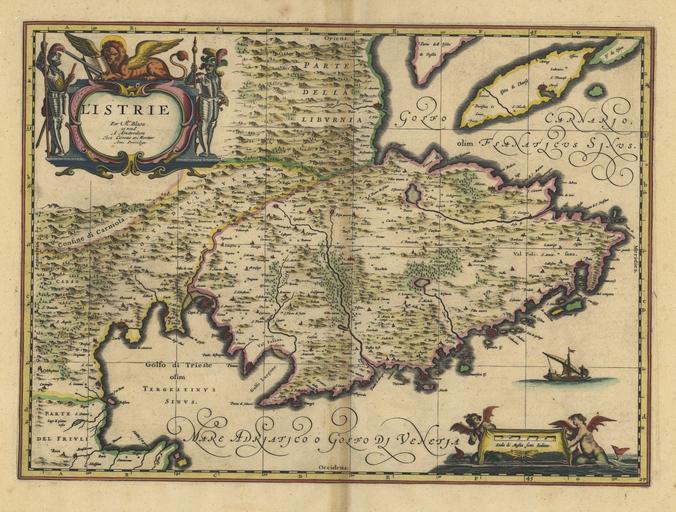
| Keywords: Joan Blaeu - L'Istrie (17. stoletje).jpg en Map of Istria from the 17th century scale ca 1 270 000 Coloured copperplate sl Zemljevid Istre iz 17 stoletja merilo ok 1 270 000 Koloriran bakrorez century 17 http //db nsk hr/HeritageDetails aspx id 978 Blaeu Joan PD-old-100 Uploaded with UploadWizard Maps of Istria 17th-century maps of Slovenia Maps of Croatia Copperplates Joan Blaeu | ||||
.jpg)