MAKE A MEME
View Large Image

| View Original: | Kaart_van_Drenthe_(1634),_Cornelis_Pijnacker_-_Vlagtwedde2.jpg (1079x791) | |||
| Download: | Original | Medium | Small | Thumb |
| Courtesy of: | commons.wikimedia.org | More Like This | ||
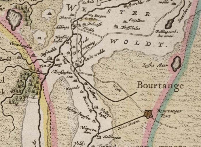
| Keywords: Kaart van Drenthe (1634), Cornelis Pijnacker - Vlagtwedde2.jpg en Map of Drenthe a province of the Netherlands nl Kaart van Drenthe Drenthe - Drentia Comitatus - Transiselaniae Tabula II Cornelio Pynacker 1664 jpg Cornelio Pynacker 1664 PD-old-100 Maps of Vlagtwedde Old maps of Westerwolde Cornelis Pijnacker Maps made in the 17th century Atlas van Loon | ||||