MAKE A MEME
View Large Image
| View Original: | Karte_1713_Trendelburg.jpg (945x1520) | |||
| Download: | Original | Medium | Small | Thumb |
| Courtesy of: | commons.wikimedia.org | More Like This | ||
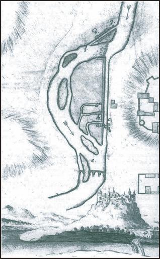
| Keywords: Karte 1713 Trendelburg.jpg page is/was //de wikipedia org/w/index php title Image 3AKarte_1713_Trendelburg png here 2006-03-20 Presse03 wikipedia de PD-old Original upload log All user names refer to de wikipedia 2006-03-20 11 37 Presse03 945×1520×8 2614469 bytes <nowiki> Bildbeschreibung Landgraf-Carl-Kanal - Ursprungsplan der Wasserführung in Trendelburg Quelle Handschriftenabteilung Landesmuseum Kassel Zeichner Oberst Christoph Münnich Datum 1713 Sonstiges Ausschnitt-Repro ~~~ </nowiki> Burg Trendelburg Transport infrastructure Old maps of the Holy Roman Empire Old maps of Hesse Canals in Hesse Category 1713 | ||||