MAKE A MEME
View Large Image

| View Original: | Karte_Fuerstabtei_SanktGallen.jpg (1360x1094) | |||
| Download: | Original | Medium | Small | Thumb |
| Courtesy of: | commons.wikimedia.org | More Like This | ||
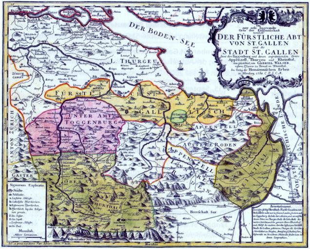
| Keywords: Karte Fuerstabtei SanktGallen.jpg de Karte des Gebiets der FĂĽrstabtei St Gallen und der Stadtrepublik St Gallen Zugewandte Orte der Alten Eidgenossenschaft 1768 en Map of the state of the prince-abbacy of St Gall and the republic of the city of St Gallen in Switzerland 1768 FĂĽrstabtei St Gallen “ Untergang und Erbe 1805/2005 St Gallen 2005 1768 upload by sidonius 20 57 12 February 2007 UTC PD-old-100 Old maps of the canton of Thurgau Convent of St Gall Old maps of the canton of St Gallen 1768 in Switzerland Old maps of Lake Constance | ||||