MAKE A MEME
View Large Image
| View Original: | KCH airport map.PNG (1477x2004) | |||
| Download: | Original | Medium | Small | Thumb |
| Courtesy of: | commons.wikimedia.org | More Like This | ||
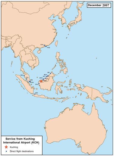
| Keywords: KCH airport map.PNG Route map for flights to and fro Kuching International Airport as of December 2007 Base map here Image Se asia malaysia png created by User Kmusser Own 2008-02-11 Kawaputra Maps of cities served by flights from given airport Sarawak Kuching International Airport | ||||