MAKE A MEME
View Large Image

| View Original: | Kenya-provinces.svg (8x8) | |||
| Download: | Original | Medium | Small | Thumb |
| Courtesy of: | commons.wikimedia.org | More Like This | ||
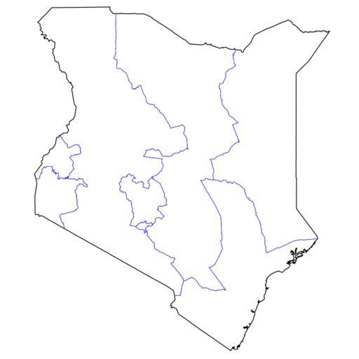
| Keywords: Kenya-provinces.svg Map of provinces of Kenya Derived from Image Kenya districts svg 2008-01-01 Brian Szymanski Note Due to a bug in inkscape when polygons were merged they were rendered very blocky no doubt due to a rounding error I had to edit this file in a convoluted process which decreased precision a small bit 6 bits of precision from 8 it would appear - not nearly as bad as inkscape's rounding bug made things Specifically I imported the file in Xara XL made my changes there exported as xara eps then converted the eps back into svg via pstoedit The output file was not aligned properly on the background so I edited this file in inkscape saved as plain svg and then inserted a snarky comment about this whole process in the source of the file Maps of Kenya SVG maps of Kenya | ||||