MAKE A MEME
View Large Image
| View Original: | Kingdom of Croatia.png (1218x1245) | |||
| Download: | Original | Medium | Small | Thumb |
| Courtesy of: | commons.wikimedia.org | More Like This | ||
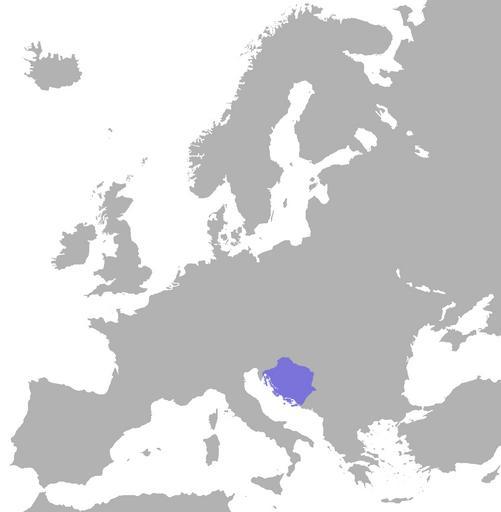
| Keywords: Kingdom of Croatia.png en wikipedia 2010 February 16 English position of the croatian kingdom in europe map Made by <font color black >Er-vet-en</font> <font face slab-serif >talk</font> ; 17 58 20 November 2009 UTC <font color black >Er-vet-en</font> <font face slab-serif >talk</font> original upload log page en wikipedia Kingdom+of+Croatia png '1' Upload date User Bytes Dimensions Comment - nowrap 2009-11-20 17 58 04 nowrap Er-vet-en nowrap 57804 nowrap 1218×1245 <small><nowiki> English position of the croatian kingdom in europe map Made by ~~~ ; ~~~~~ ~~~ </nowiki></small> cc-by-sa-3 0 Original upload log page en wikipedia Kingdom_of_Croatia png 2011-07-17 12 16 Er-vet-en 1218Ă—1245Ă— 161088 bytes <nowiki></nowiki> 2011-07-17 12 15 Er-vet-en 1218Ă—1245Ă— 161088 bytes <nowiki></nowiki> 2009-11-20 17 58 Er-vet-en 1218Ă—1245Ă— 57804 bytes <nowiki> English position of the croatian kingdom in europe map Made by ~~~ ; ~~~~~ ~~~ </nowiki> 1527 Maps of the Kingdom of Croatia medieval 920s establishments Maps of the history of Croatia in the Middle Ages | ||||