MAKE A MEME
View Large Image
| View Original: | La2-demis-caribbean gs.png (891x561) | |||
| Download: | Original | Medium | Small | Thumb |
| Courtesy of: | commons.wikimedia.org | More Like This | ||
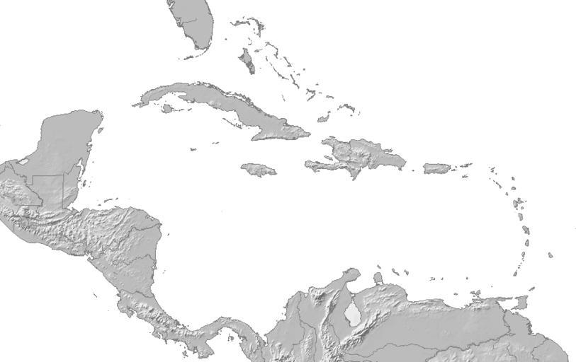
| Keywords: La2-demis-caribbean gs.png Map of the Caribbean and Central America Bounding box West -93° South 7° East -58° North 28° Center at coor d 17 50000 N 75 50000 W scale 12600000 2005-09-02 La2-demis-caribbean png 2010-11-30 21 30 UTC La2-demis-caribbean png Demis map server derivative work EH101 <span class signature-talk >talk</span> changed to grayscale EH101 La2-demis-caribbean png Original upload log This image is a derivative work of the following images File La2-demis-caribbean png licensed with PD-Demis 2005-09-02T13 20 12Z LA2 891x561 173940 Bytes <nowiki>Map of the Carribean and Central America Bounding box West -93° South 7° East -58° North 28° demis-pd maps of America </nowiki> Uploaded with derivativeFX Maps of Central America | ||||