MAKE A MEME
View Large Image
| View Original: | Lake TŇćya 3D 2012.jpg (1800x1200) | |||
| Download: | Original | Medium | Small | Thumb |
| Courtesy of: | commons.wikimedia.org | More Like This | ||
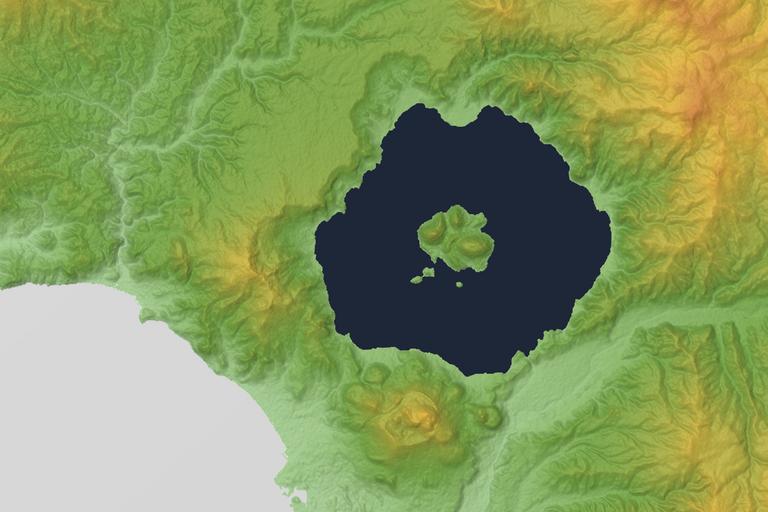
| Keywords: Lake TŇćya 3D 2012.jpg Relief map of Lake TŇćya Hokkaido Japan From SRTM-1 Ver 3 2014 This file updated to 30m Mesh by SRTM-1 Ver 3 2014 ŚĆóśĶ∑ťĀď„ĀģśīěÁąļśĻĖ„Āä„āą„Ā≥śīěÁąļ„āę„Éę„Éá„É©„ĀģťôįŚĹĪśģĶŚĹ©Śõ≥„ ā „āĻ„Éö„Éľ„āĻ„ā∑„É£„Éą„ÉęŚ įŚĹĘ„Éá„Éľ„āŅ SRTM-1 Ver 3 2014 „āíšĹŅÁĒ®„ ā„Āď„Āģ„Éē„ā°„ā§„Éę„ĀĮ30„É°„ÉÉ„ā∑„É•„Āę„āĘ„ÉÉ„Éó„Éá„Éľ„Éą„Āó„Āĺ„Āó„Āü„ ā„Éá„Éľ„āŅ„ĀĮ SRTM-1 Ver 3 2014 „āíšĹŅÁĒ®„Āó„Ā¶„ĀĄ„Āĺ„Āô„ ā „ɨ„É≥„É „É™„É≥„āį„āĹ„Éē„Éą„ĀĮ„āę„ā∑„Éü„Éľ„Éę3D„ ā NASA's http //www2 jpl nasa gov/srtm/ Shuttle Radar Topography Mission Batholith Wikimedia Commons <br />Batholith Wikipedia 2016 2 28 PD-USGov-NASA-SRTM Topographic maps of Hokkaido prefecture Lake Toya | ||||