MAKE A MEME
View Large Image
| View Original: | Landsat-nyc-rockaway.png (2670x1864) | |||
| Download: | Original | Medium | Small | Thumb |
| Courtesy of: | commons.wikimedia.org | More Like This | ||
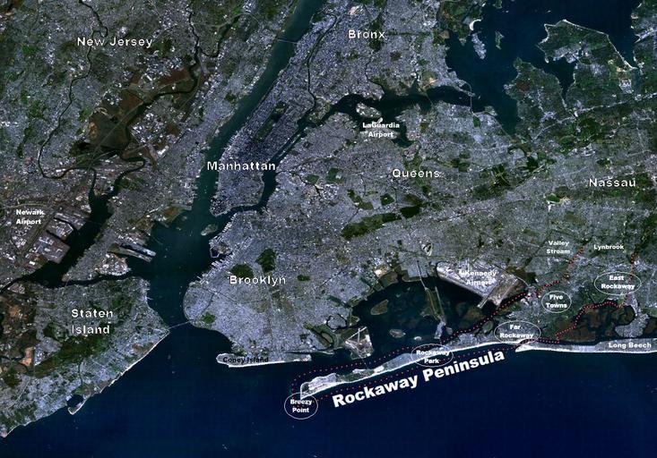
| Keywords: Landsat-nyc-rockaway.png en Landsat of NYC Metro Area with emphasis on The Rockaway Peninsula Red dotted line follows the courses of tidal water to the head of the peninsula in the north-east right side of photo 2012-11-21 07 49 19 Landsat7-nyc-metro-small png from commons wikimedia by Brian Szymanski User Atefrat adding labels cc-zero Uploaded with UploadWizard Satellite pictures of New York City | ||||