MAKE A MEME
View Large Image

| View Original: | Lapurdi fisikoa.png (1200x853) | |||
| Download: | Original | Medium | Small | Thumb |
| Courtesy of: | commons.wikimedia.org | More Like This | ||
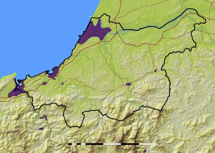
| Keywords: Lapurdi fisikoa.png Laburpena eu Lapurdiren mapa fisikoa DEM SRTM3 published by the NASA http //seamless usgs gov Cities own work digitalization based on Landsat imagery http //www landsat org Rivers own work digitalization based on French IGN information in the French side http //www ign fr/telechargement/MPro/produit/SCANS/SCAN1000_FR_SO_L93 zip and Spanish IGN information in the Spanish side http //www idee es/clientesIGN/wfsClient/index html lang EN Roads own work digitalization based on OpenStreetMap data French IGN information in the French side http //www ign fr/telechargement/MPro/produit/SCANS/SCAN1000_FR_SO_L93 zip and Spanish IGN information in the Spanish side http //www idee es/clientesIGN/wfsClient/index html lang EN Boundaries own work Map created with gvSIG ArcGIS and The GIMP Asier Sarasua Garmendia Assar 2008-09-25 Maps of Labourd | ||||