MAKE A MEME
View Large Image
| View Original: | Lille_Douai_Louvain_Bruxelles_Paris_1786.JPG (601x484) | |||
| Download: | Original | Medium | Small | Thumb |
| Courtesy of: | commons.wikimedia.org | More Like This | ||
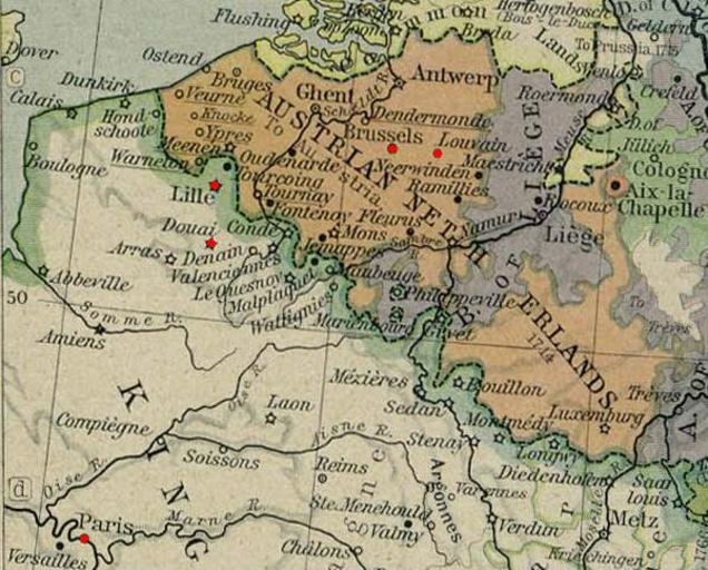
| Keywords: Lille Douai Louvain Bruxelles Paris 1786.JPG Extract from Map of Central Europe in 1786 Central_europe_1786 jpg 2010-05-25 18 06 UTC Central_europe_1786 jpg creator William R Shepherd derivative work Flandres 1786 <span class signature-talk >talk</span> red points for five related university cities Flandres 1786 Central_europe_1786 jpg PD-old original upload log This image is a derivative work of the following images File Central_europe_1786 jpg licensed with PD-old 2008-01-24T03 38 12Z Ignacio Icke 2319x1871 848552 Bytes <nowiki> Map of Central Europe in 1786 http //www lib utexas edu/maps/historical/history_europe html 1926 en William R Shepherd PD-old </nowiki> Uploaded with derivativeFX Maps of the history of Belgium | ||||