MAKE A MEME
View Large Image
| View Original: | LIRR_1891_Creedmoor_station.jpg (627x448) | |||
| Download: | Original | Medium | Small | Thumb |
| Courtesy of: | commons.wikimedia.org | More Like This | ||
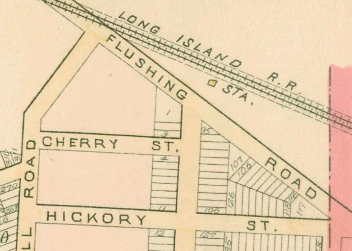
| Keywords: LIRR 1891 Creedmoor station.jpg This is a portion of an 1891 map of Queens New York United States showing Creedmoor station The map Wolverton plate number 20 was scanned by the New York Public Library with Digital Image ID 1523090 The street running south from the station is Madison Avenue now 222nd Street PD-art Long Island Rail Road maps Old railroad maps of New York City Former Long Island Rail Road stations in New York City Artworks missing infobox template Queens Village Queens Wolverton maps of Queens published in 1891 1890s maps of New York City | ||||