MAKE A MEME
View Large Image
| View Original: | LocatieSalland.png (280x130) | |||
| Download: | Original | Medium | Small | Thumb |
| Courtesy of: | commons.wikimedia.org | More Like This | ||
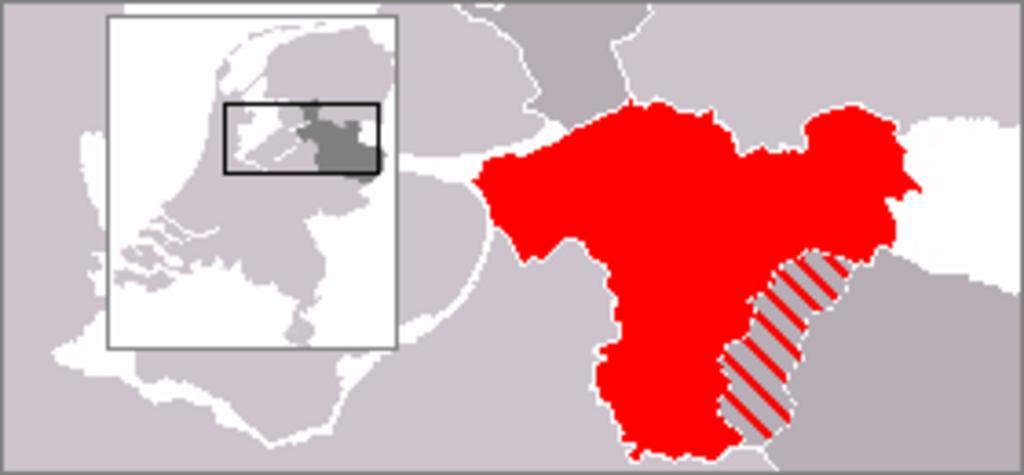
| Keywords: LocatieSalland.png Map of the eastern Netherlands giving the location of Salland within the province of Overijssel Other parts of Overijssel are shaded dark grey; other parts of the Netherlands light grey Germany lies to the east shaded white en wikipedia Original based upon PD image File LocatieTwenterand png 2006-02-22 Cwoyte wikipedia en Cwoyte Original upload log page en wikipedia LocatieSalland png 2006-03-01 07 53 Cwoyte 280×130× 6030 bytes <nowiki>Update of previous version showing municipalities now part of Twente </nowiki> 2006-02-22 08 47 Cwoyte 280×130× 5769 bytes <nowiki>Map of the eastern Netherlands giving the location of Salland within the province of Overijssel Based upon PD image image LocatieTwenterand png </nowiki> Maps of Salland | ||||