MAKE A MEME
View Large Image
| View Original: | LocationCzechoslovakia.png (250x229) | |||
| Download: | Original | Medium | Small | Thumb |
| Courtesy of: | commons.wikimedia.org | More Like This | ||
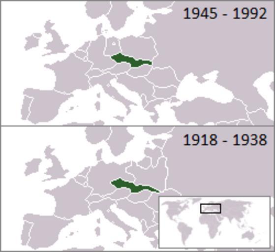
| Keywords: LocationCzechoslovakia.png Czechoslovakia location map svg Location of Czechoslovakia 1918 “1938 and 1945 “1992<br /> <small> other european borders are correct for 1919 “1922 / 1956 “1990 </small> From en wikipedia First uploaded to en by en User Morwen extended to the first republic by en User Hexagon1 Maps of Czechoslovakia Locator maps of former countries of Europe Locator maps of countries of Europe green and grey scheme | ||||