MAKE A MEME
View Large Image
| View Original: | Map_of_the_Carré_Marigny_in_1857_-_U_Chicago.jpg (665x495) | |||
| Download: | Original | Medium | Small | Thumb |
| Courtesy of: | commons.wikimedia.org | More Like This | ||
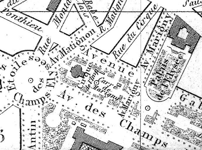
| Keywords: Map of the Carré Marigny in 1857 - U Chicago.jpg en This is a small section of an 1857 map of Paris which shows the Carré Marigny of the Champs-Élysées The title of the original map in French is Nouveau plan de Paris à l'usage des promeneurs d'après la méthode Zugenbuhler auteur d'un Atlas universel Scale 1 8 500 See http //www lib uchicago edu/e/su/maps/paris/ Paris in the 19th Century at the University of Chicago Library website Resolution 400 dpi The image mode has been converted to grayscale and the light levels have been altered from those of the original digital copy with Photoshop Elements 4 http //www lib uchicago edu/lib/public/full_screen html http //www lib uchicago edu/e/su/maps/paris/G5834-P3-1857-N6/ University of Chicago Digital Preservation Collection Auguste Logerot 1857 PD-old Carré Marigny 1857 | ||||