MAKE A MEME
View Large Image

| View Original: | Map_of_John_Procters_Land.png (1168x711) | |||
| Download: | Original | Medium | Small | Thumb |
| Courtesy of: | commons.wikimedia.org | More Like This | ||
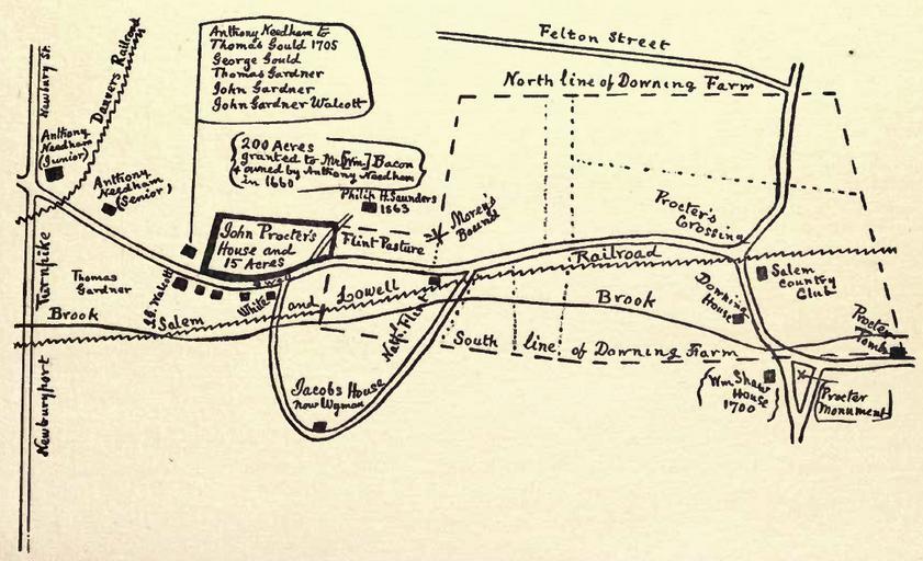
| Keywords: Map of John Procters Land.png Map of West Peabody MA indicating the 20th century location of the house and land owned by John Proctor who was executed during the Salem witch trials in 1692 House of John Procter witchcraft martyr 1692 Peabody Press of C H Shepard 1904 See http //www archive org/details/houseofjohnproct00uphaiala 1904 William Phineas Upham 1836-1905 pd-old Salem witch trials Procter Maps of Danvers Procter Old maps showing history | ||||