MAKE A MEME
View Large Image

| View Original: | Mapa_del_Caribe_y_América_Central_(Siglo_XVI).jpg (848x1115) | |||
| Download: | Original | Medium | Small | Thumb |
| Courtesy of: | commons.wikimedia.org | More Like This | ||
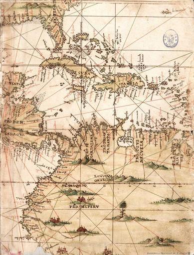
| Keywords: Mapa del Caribe y América Central (Siglo XVI).jpg es Mapa de islas del Caribe Puerto Rico y América Central Segunda mitad del siglo XVI Islario general de todas las islas del mundo 2ª mital del S XVI Biblioteca Nacional de España Alonso Santa Cruz PD-100 Uploaded with UploadWizard History of Florida Caribbean Sea in art Maps showing 18th-century history Maps showing the history of Spanish colonies Old maps of Cuba Old maps of Puerto Rico Maps of Guatemala Old maps of Colombia Old maps of the history of Venezuela | ||||