MAKE A MEME
View Large Image
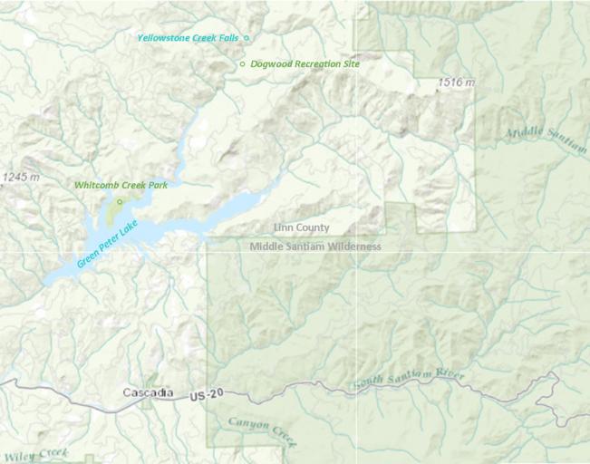
| View Original: | MapOfCascadiaOregonUSA.png (1178x926) | |||
| Download: | Original | Medium | Small | Thumb |
| Courtesy of: | commons.wikimedia.org | More Like This | ||
| Keywords: MapOfCascadiaOregonUSA.png en Created from a USGS map modified with Microsoft Publisher Credit U S Geological Survey Department of the Interior/USGS http //www usgs gov/laws/info_policies html es Creado a partir de un mapa USGS modificado con Microsoft Publisher Crédito U S Geological Survey Department of the Interior/USGS http //www usgs gov/laws/info_policies html fil Nilikha mula sa isang mapa USGS binago sa Microsoft Publisher Kredito U S Geological Survey Department of the Interior/USGS http //www usgs gov/laws/info_policies html zh 从USGSå °å›¾çš„Microsoft Publisher创建修改 Cóng USGS dìtú de Microsoft Publisher chuà ngjià n xiÅ«gÇŽi 信用 Xìnyòng U S Geological Survey Department of the Interior/USGS http //www usgs gov/laws/info_policies html haw HanaÊ»i mai ka USGS mapa ala me Microsoft hoÊ»opuka Uku U S Geological Survey Department of the Interior/USGS http //www usgs gov/laws/info_policies html 2016-03-29 own Calebjbaker other versions 44 23 51 N 122 28 50 W cc-zero Cascadia Oregon Maps of Linn County Oregon Maps of protected areas of the United States U S Route 20 in Oregon | ||||