MAKE A MEME
View Large Image

| View Original: | Mediterranean_chart_fourteenth_century2.jpg (5486x4009) | |||
| Download: | Original | Medium | Small | Thumb |
| Courtesy of: | commons.wikimedia.org | More Like This | ||
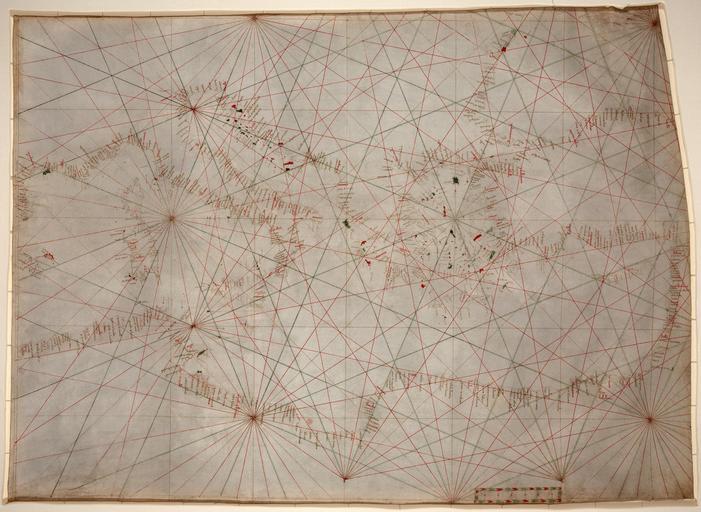
| Keywords: Mediterranean chart fourteenth century2.jpg Assessments 1 Portolan chart of the Mediterranean 1 1 stains dirt and creases removed some lines reconstructed selective brightness changes histogram adjusted and colors balanced Mediterranean chart fourteenth century jpg Durova Anonymous nautical chart in portolan style probably drawn in Genoa Covers Mediterranean Sea from the Balearic Islands to the Levantine coast; also covers western part of Black Sea Oldest original cartographic artifact in the Library of Congress Title from printed label on box in which the map is housed Pen-and-ink red/green/brown Matted and mounted between sheets of transparent lucite Sheet cut into the shape of an irregular rectangle Imperfect Vertically fold-lined at center cracked annotated in pencil on verso Includes bar scale with unidentified divisions The green rhumb lines on the recto are also visible on the verso Scale ca 1 5 500 000 Library of Congresshttp //lcweb2 loc gov/cgi-bin/query/S ammem/gmd FILREQ field SUBJ+ od1 Mediterranean+Sea+ + FIELD COLLID+trnsmap circa 1320 1350 anonymous probably Genoan PD-old portolan grid construction jpg portolan scale jpg portolan windrose plain jpg Old maps of Mediterranean Sea Portolan charts made in the 14th century Featured maps | ||||