MAKE A MEME
View Large Image
| View Original: | Michigan 114 map.png (2255x1333) | |||
| Download: | Original | Medium | Small | Thumb |
| Courtesy of: | commons.wikimedia.org | More Like This | ||
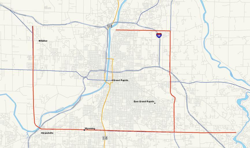
| Keywords: Michigan 114 map.png Map of M-114 the planned beltway around Grand Rapids MI as it was in 1942 own using cite web Michigan Center for Geographic Information Geographic Data Library Michigan Department of Information Technology http //www mcgi state mi us/mgdl/ rel thext action thmname cid 14 cat MI+Geographic+Framework+All+Roads+ 28v7b 29 July 21 2006 2006-10-29 Nick Nolte Public Domain StratosphereMap Maps of Michigan Road maps of Michigan 114 Beltways in the United States | ||||