MAKE A MEME
View Large Image
| View Original: | Munro-colour-contour-map-sec12.png (2395x1458) | |||
| Download: | Original | Medium | Small | Thumb |
| Courtesy of: | commons.wikimedia.org | More Like This | ||
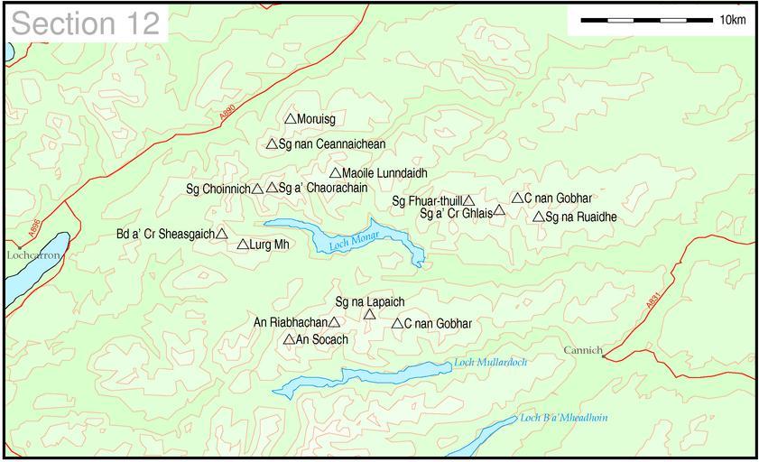
| Keywords: Munro-colour-contour-map-sec12.png Map of Munro hills in SMC section 12 Note this map includes en Sgurr nan Ceannaichean which as of 2009 is no longer listed as a Munro Thruston These maps are created by my own Perl scripts from public domain sources The list of hills and the grid references are from Wikipedia The coastline is derived from data from the US Govt Coast Line Extractor web The contours are derived from data from US Govt SRTM Digital Elevation Model web PD-USGov-NASA-SRTM Maps of mountains of Scotland | ||||