MAKE A MEME
View Large Image
| View Original: | Northwestern Washington Township from the air.jpg (2272x1704) | |||
| Download: | Original | Medium | Small | Thumb |
| Courtesy of: | commons.wikimedia.org | More Like This | ||
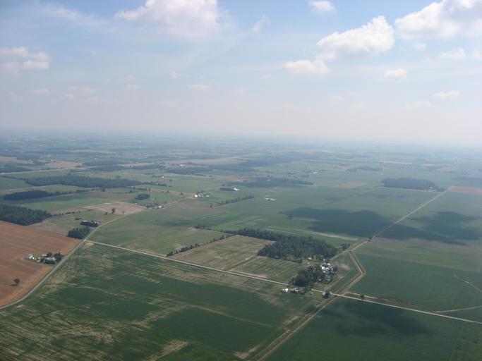
| Keywords: Northwestern Washington Township from the air.jpg Aerial view of northwestern w Washington Township Hardin County Ohio Washington Township Hardin County Ohio Hardin County Ohio United States northwest of Dola Ohio Dola Picture taken from a Diamond DA20 Diamond Eclipse light airplane at an altitude of 2 250 feet Sea level MSL and a bearing of approximately 50º Non-right angle intersection at left side of picture is County Roads 14 and 95 own 2008-07-29 User Nyttend Nyttend No<nowiki></nowiki>ne Aerial photographs of Ohio Countryside in the United States Washington Township Hardin County Ohio Aerial pictures by User Nyttend | ||||