MAKE A MEME
View Large Image

| View Original: | NWLeics 2011 Election Map.png (2000x2000) | |||
| Download: | Original | Medium | Small | Thumb |
| Courtesy of: | commons.wikimedia.org | More Like This | ||
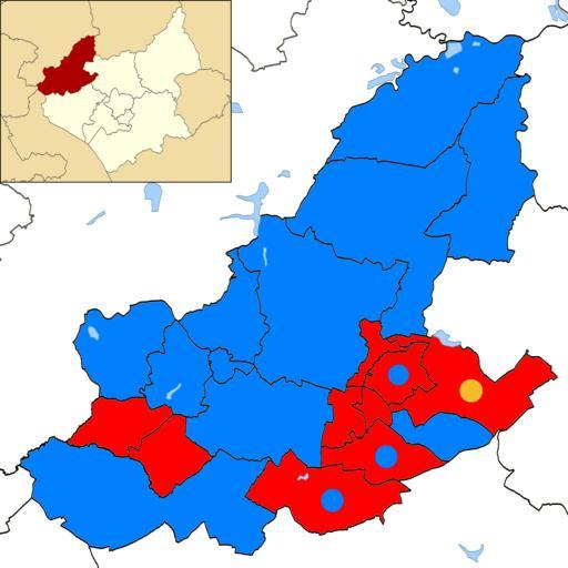
| Keywords: NWLeics 2011 Election Map.png en A map of North West Leicestershire coloured by victorious party at the 2011 District Council election Coloured dots show mixed partisan representation within a ward own M3gaM4sh 2011-05-10 File North West Leicestershire UK local election 2011 map svg North West Leicestershire UK local election 2011 map svg Cc-zero North West Leicestershire District Maps of Leicestershire Election maps of the United Kingdom 2011 UK Local Election | ||||