MAKE A MEME
View Large Image
| View Original: | Olallie_Lake_Satellite_Image.png (726x532) | |||
| Download: | Original | Medium | Small | Thumb |
| Courtesy of: | commons.wikimedia.org | More Like This | ||
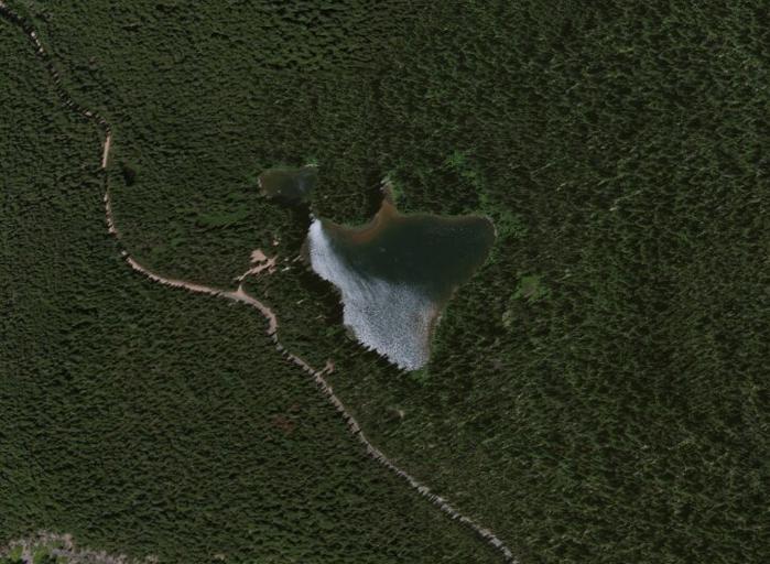
| Keywords: Olallie Lake Satellite Image.png en Satellite Image of Olallie Lake in the Midway High Lakes Area of Washington State It lies below Mount Adams 2013-04-23 18 00 10 http //www arcgis com/home/webmap/viewer html webmap c08ac1521dec4c5da61ec9789ead2219 Esri DigitalGlobe GeoEye i-cubed USDA USGS AEX Getmapping Aerogrid IGN IGP swisstopo and the GIS User Community PD-USGov Uploaded with UploadWizard Gifford Pinchot National Forest | ||||