MAKE A MEME
View Large Image
| View Original: | Old Michigan 31 map.png (2248x1333) | |||
| Download: | Original | Medium | Small | Thumb |
| Courtesy of: | commons.wikimedia.org | More Like This | ||
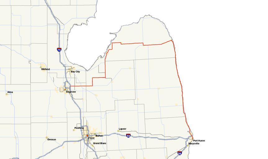
| Keywords: Old Michigan 31 map.png Map of decommissioned route M-31 as it existed in 1923 own using cite web Michigan Center for Geographic Information Geographic Data Library Michigan Department of Information Technology http //www mcgi state mi us/mgdl/ rel thext action thmname cid 14 cat MI+Geographic+Framework+All+Roads+ 28v7b 29 July 17 2006 2006-08-22 Nick Nolte Public Domain StratosphereMap Road maps of Michigan 031 | ||||