MAKE A MEME
View Large Image
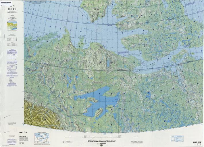
| View Original: | Operational_Navigation_Chart_C-10,_4th_edition.jpg (9254x6677) | |||
| Download: | Original | Medium | Small | Thumb |
| Courtesy of: | commons.wikimedia.org | More Like This | ||
| Keywords: Operational Navigation Chart C-10, 4th edition.jpg 1 1 000 000 scale Operational Navigation Chart Sheet C-10 4th edition Covers Canada Lambert Conformal Conic Projection Standard Parallels 65 20N and 70 40N Center longitude 125W 1985-06 txu-pclmaps-oclc-8322829_c_10 jpg onc/ Defense Mapping Agency Aerospace Center St Louis Mo Covers 64N to 72N 132W to 106W PD-USGov Uploaded with UploadWizard ONCs uploaded by Revent Operational Navigation Chart Maps of Canada Maps of the Beaufort Sea Maps with Lambert conformal conic projection JPG maps Operational Navigation Charts in the Perry-Castañeda Library Maps of Amundsen Gulf Great Bear Lake Maps of islands of Canada | ||||