MAKE A MEME
View Large Image
| View Original: | Operational_Navigation_chart_D-9,_5th_edition.jpg (9254x6671) | |||
| Download: | Original | Medium | Small | Thumb |
| Courtesy of: | commons.wikimedia.org | More Like This | ||
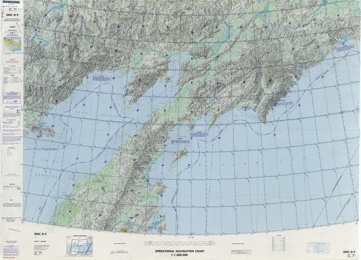
| Keywords: Operational Navigation chart D-9, 5th edition.jpg en 1 1 000 000 scale Operational Navigation Chart Sheet D-9 5th edition Covers the U S S R Lambert Conformal Conic Projection txu-pclmaps-oclc-8322829_d_9 jpg onc/ Defense Mapping Agency Aerospace Center St Louis Air Force Station Mo 1983-01 Covers 56N to 63N 154E to 176E ONCs uploaded by Revent Operational Navigation Chart Old maps of USSR Maps of the Sea of Okhotsk Maps of the Bering Sea Maps of Kamchatka Maps with Lambert conformal conic projection JPG maps Operational Navigation Charts in the Perry-Castañeda Library PD-USGov | ||||