MAKE A MEME
View Large Image
| View Original: | Operational_Navigation_Chart_D-12,_6th_edition.jpg (9254x6698) | |||
| Download: | Original | Medium | Small | Thumb |
| Courtesy of: | commons.wikimedia.org | More Like This | ||
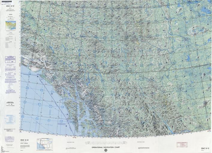
| Keywords: Operational Navigation Chart D-12, 6th edition.jpg 1 1 000 000 scale Operational Navigation Chart Sheet D-12 6th edition Covers Alaska Canada Lambert Conformal Conic Projection Standard Parallels 57 20N and 62 40N 1990-04 txu-pclmaps-oclc-8322829_d_12 jpg onc/ Defense Mapping Agency Aerospace Center St Louis Mo Covers 56N to 63N 141W to 120W PD-USGov ONCs uploaded by Revent Operational Navigation Chart Maps of Canada Maps of Alaska Maps of the Gulf of Alaska Maps of the Pacific Ocean Maps with Lambert conformal conic projection JPG maps Operational Navigation Charts in the Perry-Castañeda Library | ||||