MAKE A MEME
View Large Image
| View Original: | Operational_Navigation_Chart_E-2,_15th_edition.jpg (9254x6688) | |||
| Download: | Original | Medium | Small | Thumb |
| Courtesy of: | commons.wikimedia.org | More Like This | ||
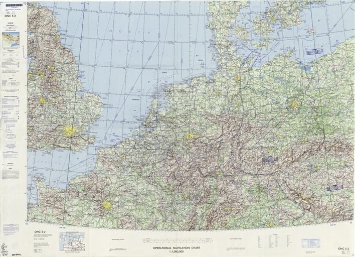
| Keywords: Operational Navigation Chart E-2, 15th edition.jpg 1 1 000 000 scale Operational Navigation Chart Sheet E-2 15th edition Covers Austria Belgium Czechoslovakia Denmark France Germany Luxembourg Netherlands Poland Sweden United Kingdom Lambert Conformal Conic Projection Standard Parallels 49 20N and 54 40N Center longitude 7E 1972-09 txu-pclmaps-oclc-8322829_e_2 jpg onc/ Defense Mapping Agency Aerospace Center St Louis Air Force Station Mo Covers 48N to 56N 2W to 16E PD-USGov ONCs uploaded by Revent Operational Navigation Chart Maps of Austria Maps of Belgium Maps of Czechoslovakia Maps of Denmark Transport maps of France Maps of Germany Maps of Luxembourg Maps of the Netherlands Maps of Poland Maps of Sweden Maps of the United Kingdom Maps of the English Channel Maps of the North Sea Maps of Kattegat Maps with Lambert conformal conic projection JPG maps Operational Navigation Charts in the Perry-Castañeda Library | ||||