MAKE A MEME
View Large Image

| View Original: | OSM-Baumschulenweg.png (3500x3345) | |||
| Download: | Original | Medium | Small | Thumb |
| Courtesy of: | commons.wikimedia.org | More Like This | ||
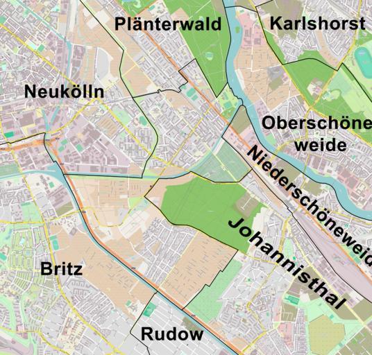
| Keywords: OSM-Baumschulenweg.png en System of Streets in Berlin-Baumschulenweg on OSM-Map de Straßensystem in Berlin-Baumschulenweg nach Open Street Map erstellt mit Ortsteilgrenzen an Vorlage des Berliner FIS-Broker-System angepasst own Boonekamp 2012-06-22 Street maps of Berlin Maps of Berlin-Baumschulenweg OpenStreetMap maps of Berlin Cc-zero | ||||