MAKE A MEME
View Large Image
| View Original: | OWL_um_1710.png (665x866) | |||
| Download: | Original | Medium | Small | Thumb |
| Courtesy of: | commons.wikimedia.org | More Like This | ||
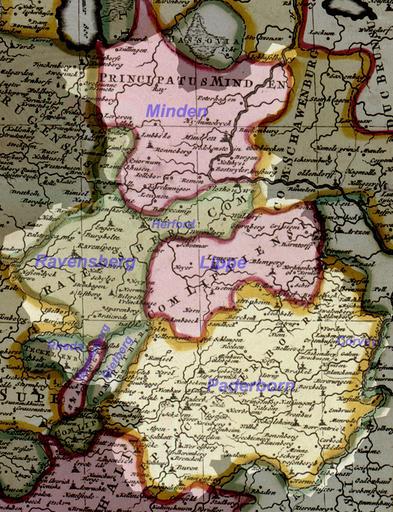
| Keywords: OWL um 1710.png Today's area of de Ostwestfalen-Lippe as of 1710 based upon de commons Image Reichskreis Niederrhein-Westfalen 1710 jpg 2007-10-24 <br/> original text 1 1710/1730 Internet-Portal Westfälische Geschichte des Landschaftsverbands Westfalen-Lippe http //www lwl org/westfaelische-geschichte/kar/normal/kar51 jpg Permission PD-Old due to age of map de commons Image Reichskreis Niederrhein-Westfalen 1710 jpg PD-old original upload log de wikipedia Hagar66 CommonsHelper page de wikipedia OWL_um_1710 png 2007-10-24 14 31 TUBS 665×866× 1276426 bytes <nowiki> Information Today's area of Ostwestfalen-Lippe as of 1710 based upon Reichskreis Niederrhein-Westfalen 1710 jpg Internet-Portal Westfälische Geschichte des Landschaftsverbands Westfalen-Lippe http //www lw</nowiki> Maps of Regierungsbezirk Detmold Maps of the history of North Rhine-Westphalia | ||||