MAKE A MEME
View Large Image

| View Original: | OxfordandPrincesStreetca1792.svg (336x241) | |||
| Download: | Original | Medium | Small | Thumb |
| Courtesy of: | commons.wikimedia.org | More Like This | ||
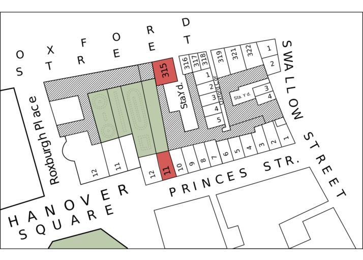
| Keywords: OxfordandPrincesStreetca1792.svg Detail of block between Oxford Street and Princes Street Hanover Square London showing 315 Oxford st and 11 Princes st traced by User Mireut Richard Horwood Plan of the Cities of London and Westminster the Borough of Southwark and Parts adjoining shewing every House 1792-9 sheet B2 1792 Richard Horwood d 1803 PD-old-100 Maps of the City of Westminster Oxford Street | ||||