MAKE A MEME
View Large Image
| View Original: | Pars_Flandriae_Teutonicae_occidentalior.jpg (991x789) | |||
| Download: | Original | Medium | Small | Thumb |
| Courtesy of: | commons.wikimedia.org | More Like This | ||
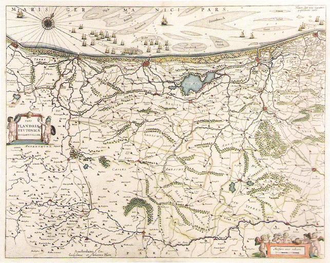
| Keywords: Pars Flandriae Teutonicae occidentalior.jpg en 17th c map of Flanders Scanning from Karl Michael Hoin's Aire-sur-la-Lys au temps des fortifications Willem-Janszoon Blaeu 1635 PD-old-100 Old maps of Flanders 1635 maps Maps by Willem and Johannes Blaeu | ||||