MAKE A MEME
View Large Image
| View Original: | Persian(IRAN)_Empire_1747_(B).JPG (1173x616) | |||
| Download: | Original | Medium | Small | Thumb |
| Courtesy of: | commons.wikimedia.org | More Like This | ||
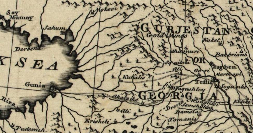
| Keywords: Persian(IRAN) Empire 1747 (B).JPG en The map of the Persian Empire in 1747 at the time of Afsharid Dynasty fa نقشهٔ امپراطوری ایران در سال ۱۷۴۷ میلادی برابر با ۱۱۲۶ خورشیدی و ۱۱۶۰ قمری در زمان دودمان افشاریان Persian IRAN _Empire_1747 jpg 2010-08-25 01 54 UTC Persian IRAN _Empire_1747 jpg Bowen - a complete system of geography derivative work Geagea <span class signature-talk >talk</span> Persian IRAN _Empire_1747 jpg PD-old Original upload log This image is a derivative work of the following images File Persian IRAN _Empire_1747 jpg licensed with PD-old 2008-08-31T15 40 23Z Wayiran 5664x4715 7575936 Bytes <nowiki> en The map of the Persian Empire in 1747 at the time of Afsharid Dynasty fa نقشهٔ امپراطوری ایران در سال ۱۷۴۷ میلادی برابر با ۱۱۲۶ خورشید</nowiki> Uploaded with derivativeFX Maps of the history of Iran Old maps of Iran 18th-century maps of Georgia 1747 maps Maps by Emanuel Bowen | ||||
_Empire_1747_(B).JPG)