MAKE A MEME
View Large Image
| View Original: | Pinus strobus range map 0.png (9624x12505) | |||
| Download: | Original | Medium | Small | Thumb |
| Courtesy of: | commons.wikimedia.org | More Like This | ||
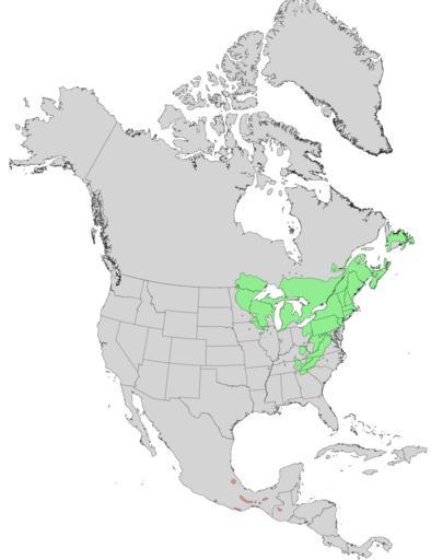
| Keywords: Pinus strobus range map 0.png en Natural distribution map for Pinus strobus The Pinus chiapensis syn Pinus strobis var chiapensis distribution in Mexico and Guatemala is shown in red 1971 http //esp cr usgs gov/data/little/ USGS Geosciences and Environmental Change Science Center Digital Representations of Tree Species Range Maps from Atlas of United States Trees by Elbert L Little Jr and other publications Elbert L Little Jr U S Department of Agriculture Forest Service and others PD-USGov Uploaded with UploadWizard Pinus strobus range maps Pinus chiapensis range maps | ||||