MAKE A MEME
View Large Image

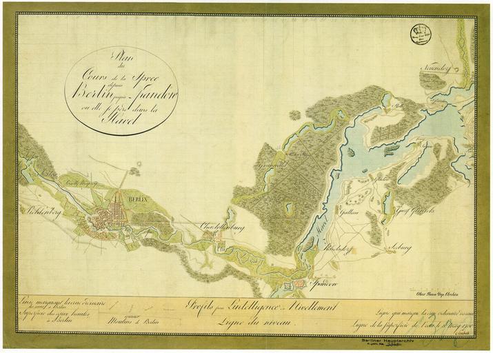
| View Original: | Plan_du_Cours_de_la_Spree_depuis_Berlin_jusqu'Ă _Spandow_oĂą_elle_se_perd_dans_la_Havel_1750.jpg (4464x3198) | |||
| Download: | Original | Medium | Small | Thumb |
| Courtesy of: | commons.wikimedia.org | More Like This | ||
| Keywords: Plan du Cours de la Spree depuis Berlin jusqu'à Spandow où elle se perd dans la Havel 1750.jpg Die Karte ist eine à bungsarbeit des Landmessers Scabel Scabel 1750 G Schulz Die Stadtpläne von Berlin 1652-1920 Tafelband map date Berlin wikidata location Q64 https //warper wmflabs org/maps/211 Preview_tab Betrachte die Karte projiziert auf einer aktuellen Karte mit dem Wikimaps Warper 45000 S fr print date Geheimes Staatsarchiv Preußischer Kulturbesitz Secret State Archives Prussian Cultural Heritage Foundation accession number XI HA A 50786 Size cm 70 5 49 8 Size cm 69 7 43 3 map size woodcut colored Literatur G Schulz Die Stadtpläne von Berlin 1652-1920 Nr 119 other versions PD-old-70-1923 1750 in Berlin Old maps of Berlin 1750 | ||||