MAKE A MEME
View Large Image
| View Original: | Plantation of Ulster.png (631x380) | |||
| Download: | Original | Medium | Small | Thumb |
| Courtesy of: | commons.wikimedia.org | More Like This | ||
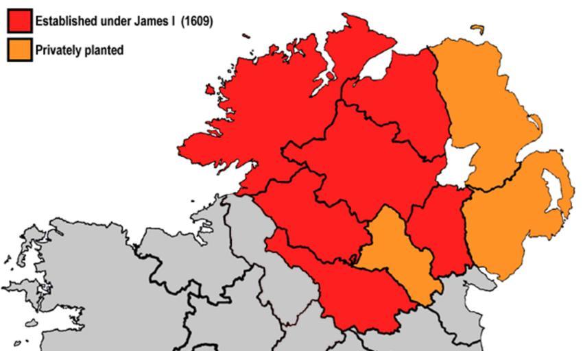
| Keywords: Plantation of Ulster.png A map highlighting the areas subjected to British plantations in Ulster using modern county boundaries Based on http //upload wikimedia org/wikipedia/commons/4/4a/Map_of_Ireland_in_1609 gif and File Plantations in Ireland png 2010-11-14 User Asarlaí Maps of the history of Ireland Ulster History of Northern Ireland | ||||