MAKE A MEME
View Large Image
| View Original: | Pleasant Township cornfields east of Catawba.jpg (6016x4000) | |||
| Download: | Original | Medium | Small | Thumb |
| Courtesy of: | commons.wikimedia.org | More Like This | ||
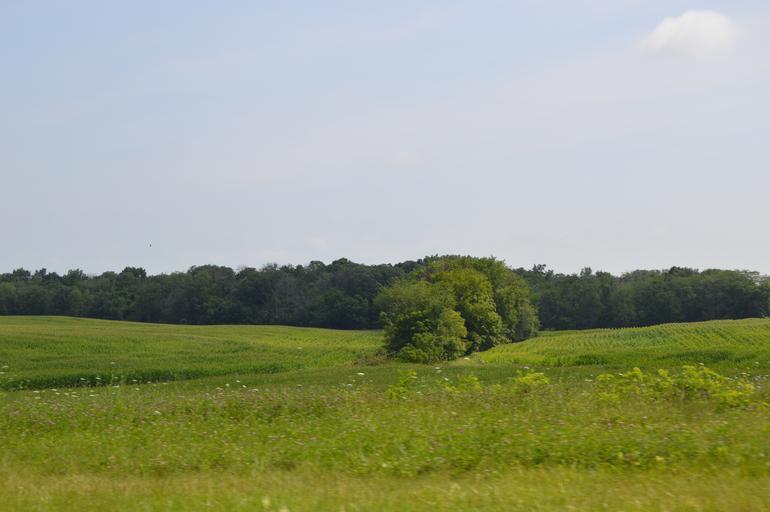
| Keywords: Pleasant Township cornfields east of Catawba.jpg 40 0 42 N 83 34 54 W Fields in extreme northern w Pleasant Township Clark County Ohio Pleasant Township Clark County Ohio Clark County Ohio United States looking northeast from Ohio State Route 56 State Route 56 just north of the Knoxville Road intersection own 2015-07-18 User Nyttend Nyttend No<nowiki></nowiki>ne Pleasant Township Clark County Ohio Cornfields in Ohio Forests in Ohio Ohio State Route 56 Scenery pictures by User Nyttend | ||||