MAKE A MEME
View Large Image
| View Original: | Prince Edward Island-map.png (280x230) | |||
| Download: | Original | Medium | Small | Thumb |
| Courtesy of: | commons.wikimedia.org | More Like This | ||
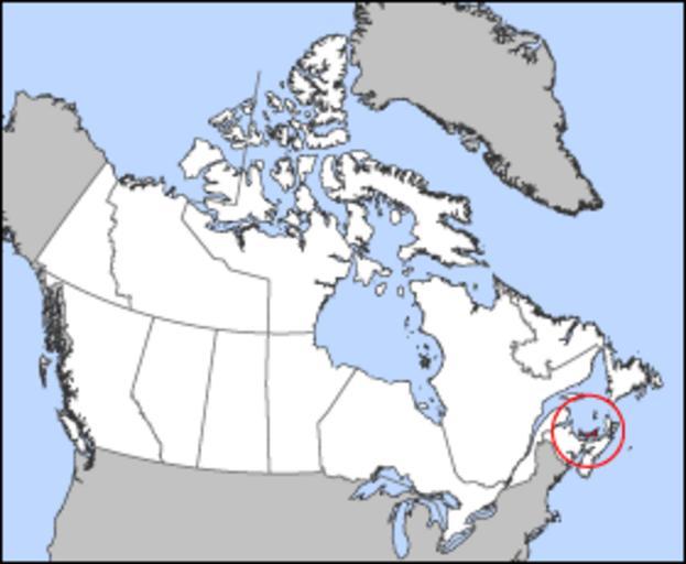
| Keywords: Prince Edward Island-map.png Map of Prince Edward Island Projection Lambert azimuthal equal-area Geospatial data from http //atlas gc ca/ The Atlas of Canada http //www nationalatlas gov/ The National Atlas of the United States and http //www usgs gov U S Geological Survey Cartographer John Fowler Maps of Prince Edward Island Locator maps of islands of Canada | ||||