MAKE A MEME
View Large Image
| View Original: | ReseauTUR.gif (625x641) | |||
| Download: | Original | Medium | Small | Thumb |
| Courtesy of: | commons.wikimedia.org | More Like This | ||
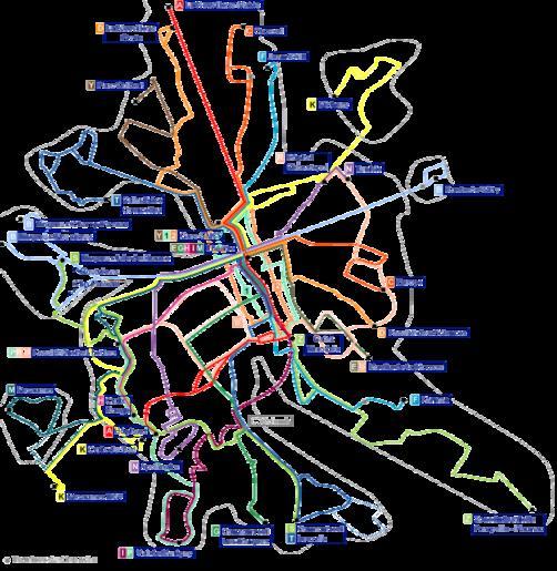
| Keywords: ReseauTUR.gif en Schematic map of Reims' TUR buses network fr Plan schématique du réseau des Transports Urbains de Reims en Own realization based on the official map fr Œuvre personnelle basée sur le plan officiel 2007-05-11 user azuosaka / fr user daiima Public Domain Image Tur2007 svg <br /><div align center > toccolours width 50 cellpadding 7 ccccff align center Plan du réseau de nuit - Evening services map <br /> toccolours width 75 cellpadding 7 +Les évolutions du réseau T U R de 1873 à 2011<br />Evolutions of the bus network in Reims from 1873 to 2011 ccccff align center Carte précédente<br />Previous map ccccff align center Carte actuelle<br />This map ccccff align center Carte suivante<br />Next map - FEFF7F align center Image Tur1994 svg FEFF7F align center Image ReseauTUR gif FEFF7F align center Image CituraReseau2011 png - E6FF7F align center 1994 E6FF7F align center 2007 E6FF7F align center 2011 </div> Public transport maps of Reims | ||||